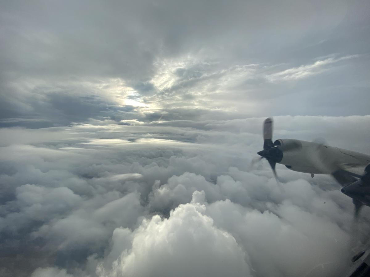
From their base at the NOAA Aircraft Operations Center in Lakeland, Florida, the NOAA Hurricane Hunters flew nine missions to gather data crucial to forecasting Hurricane Ida’s track and intensity. NOAA’s high-altitude Gulfstream IV-SP jet flew three missions to sample the upper atmosphere over the Atlantic Ocean, Caribbean Sea and Gulf of Mexico. These missions aided forecasters as they developed storm track forecasts and determined if conditions were favorable for further development. NOAA’s two Lockheed WP-3D Orions worked around the clock, flying six missions into the storm at 10,000 feet to monitor Ida’s development from a tropical storm to a strong Category 4 hurricane, which made landfall in southeast Louisiana. These missions gathered critical data for both forecasting the storm's track and intensity as well as conducting research to improve our understanding of how and why hurricanes rapidly intensify. After the storm, a NOAA Beechcraft King Air 350CER collected aerial images of areas impacted by the storm to aid federal, state and local agencies with response and recovery efforts. The imagery collected from the flights is available to the public at: https://oceanservice.noaa.gov/news/aug21/ngs-storm-imagery-ida.html

