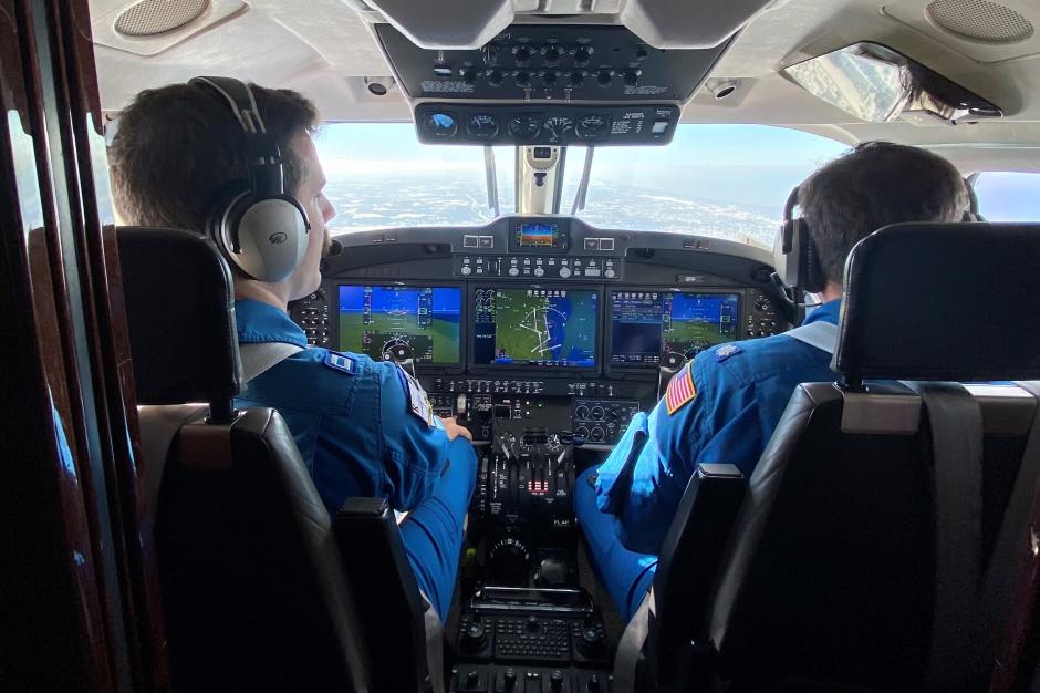
Meet the Crew: Nick Underwood, Programs and Integration Engineer
Meet NOAA Programs and Integration Engineer Nick Underwood in this profile of NOAA Aircraft Operations Center team members.


The .gov means it’s official.
Federal government websites often end in .gov or .mil. Before sharing sensitive information, make sure you’re on a federal government site.
The site is secure.
The https:// ensures that you are connecting to the official website and that any information you provide is encrypted and transmitted securely.
Meet NOAA Programs and Integration Engineer Nick Underwood in this profile of NOAA Aircraft Operations Center team members.
NOAA’s fleet of 10 aircraft operate throughout the year to support NOAA’s diverse science missions.

The NOAA Hurricane Hunters are flying round-the-clock missions to collect data on Hurricane Lee for forecasts and research. NOAA’s two WP-3D Orions are currently operating out of St. Croix.

The NOAA Office of Marine and Aviation Operations deployed its Gulfstream IV-SP research jet to Hawaii in December to gather data on atmospheric rivers to help forecasters and water managers on the West Coast.

During the 2022 Atlantic Hurricane Season, NOAA Hurricane Hunter aircraft flew more than 582 mission hours to collect atmospheric data that is critical to hurricane forecasting and research, passing through the eye of a hurricane 65 times and deploying over 1,700 scientific instruments.

After a significant Lake Erie lake effect snow event, a NOAA King Air 350CER flew several surveys on Nov. 22 and 23 near Buffalo in western New York.
From their base at the NOAA Aircraft Operations Center in Lakeland, Florida, the NOAA Hurricane Hunters flew nine missions to gather data crucial to forecasting Hurricane Ida’s track and intensity. NOAA’s high-altitude Gulfstream IV-SP jet flew three missions to sample the upper atmosphere over the Atlantic Ocean, Caribbean Sea and Gulf of Mexico. These missions aided forecasters as they developed storm track forecasts and determined if conditions were favorable for further development.

NOAA’s newest aircraft, a Beechcraft King Air 350 CER turboprop, aircraft has arrived at the NOAA Aircraft Operations Center in Lakeland, Florida. The new aircraft, designated N67RF, is outfitted with remote sensing equipment that will measure the water content of snow and soil — data that is used for flood, river level and water supply forecasts.