
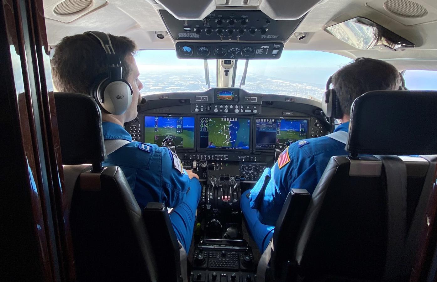
After a significant Lake Erie lake effect snow event, a NOAA King Air 350CER flew several surveys on Nov. 22 and 23 near Buffalo in western New York. These missions were tasked to measure snow water equivalent and determine flooding risk in case of a rapid melting event. During the fall and winter, NOAA Corps pilots fly snow survey lines between 500-1,000 feet over the ground across the Northern U.S., Alaska, and southern Canada, gathering photos and background radiation data to determine the amount of water in the snowpack. This important data helps inform models for spring flood, river flow, and drought forecasting.