
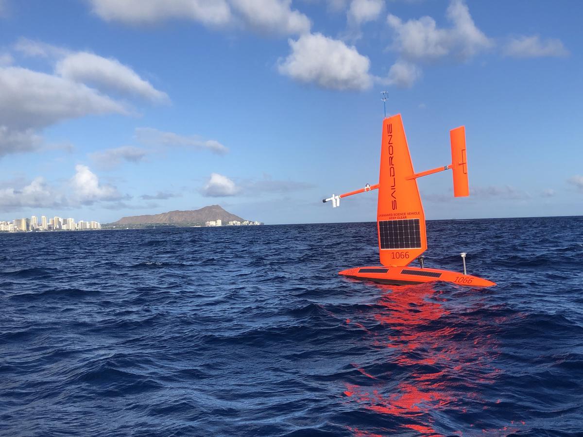
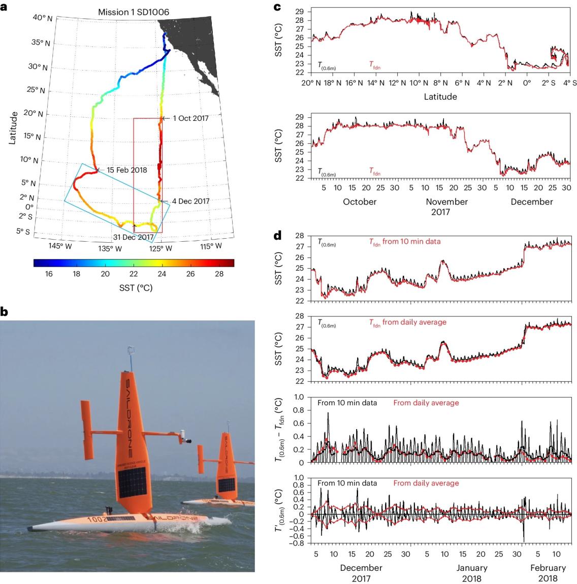
Saildrone uncrewed surface vehicles, funded by the NOAA Uncrewed Systems Operations Center, contributed to new research on how changes in ocean surface temperature affect our atmosphere’s stability and movement. The Saildrone surveys have focused on the eastern Pacific Ocean near the equator and have helped explore how temperature changes on a daily basis impact global weather patterns. Learn more about this work in this NOAA Climate Program Office article.
The research team, led by Meghan Cronin at NOAA’s Pacific Marine Environmental Laboratory, recently published some of their results in Nature Geoscience. The publication highlights the value of uncrewed systems, like Saildrones, in providing high-resolution data in both time and space, and filling gaps in data-sparse regions.
Additional funding for this work was provided by the NOAA Climate Program Office’s Climate Observations and Monitoring program and Global Ocean Monitoring and Observing program.
Main image credit: Saildrone, Inc.